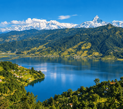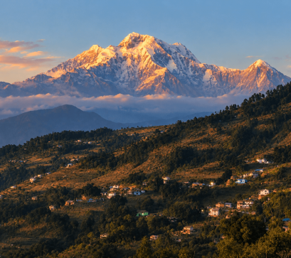
The Rolwaling Valley sits in east-central Nepal, in Bagmati Province, wedged between the Langtang and Everest regions and running close to the Tibetan border. It falls under the Gaurishankar Rural Municipality and is protected as the Gaurishankar Conservation Area. In Buddhist tradition it is regarded as one of Nepal's seven hidden beyul, or sacred hidden valleys, said to have been consecrated by Guru Rinpoche and named in the text known as the Pema Kathak.
The valley was first explored by a Westerner in 1951, when Eric Shipton passed through during his reconnaissance of Mount Everest. It remains overshadowed by its neighbouring Khumbu region, despite sitting beneath the 7,134-metre Mount Gaurishankar.
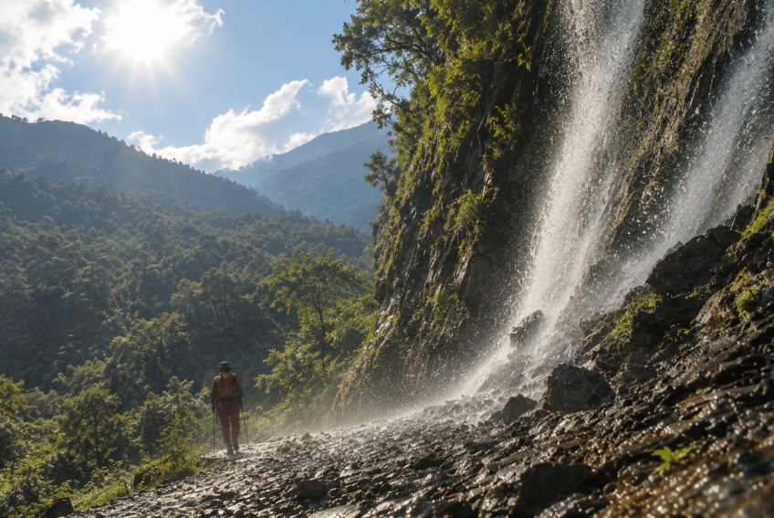
Geographically, the valley is shaped by the Tamakoshi River and its tributaries, with the trail climbing from around 1,200 to over 5,700 metres if extended to the Tashi Lapcha Pass. Vegetation shifts from rhododendron, oak and pine forest lower down to alpine meadow and bare rock near the lake. Wildlife recorded in the area includes Himalayan tahr, musk deer, langur monkeys, Himalayan griffon vultures and blue sheep, and locals report occasional snow leopard sightings in the upper valley during winter.
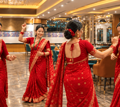
The valley is home to Sherpa and Tamang communities, who practise Tibetan Buddhism and follow a partly nomadic pattern, moving between winter villages, the intermediate village of Beding, and the summer settlement of Na. Beding, at roughly 3,690–3,740 metres, is the largest permanent settlement.
Long-standing local custom in Rolwaling prohibits the killing of animals or the cutting of trees. Tsho Rolpa itself has been monitored by the Nepal government since 1997 due to the risk of a glacial lake outburst flood, which could threaten around 6,000 people living along the Tamakoshi River; by 2002 the lake's level had been recorded as roughly three metres lower.
The trek is rated moderate to challenging, mainly because of remote terrain, steep sections and high altitude, and typically runs six to seven days round trip from Chhechhet, a village reached by a roughly nine-to-ten-hour bus or jeep journey of about 188–189 km from Kathmandu, followed by a short trek to Simigaun.
Longer itineraries extend the route over the 5,755-metre Tashi Lapcha Pass toward the Khumbu, which requires prior climbing experience. Facilities are basic: simple teahouses and homestays serve dal bhat, fried rice and noodles, with far fewer shops or menu options than on the Annapurna or Everest trails, so carrying extra supplies is advisable.
Trekkers need a Gaurishankar Conservation Area permit (around NPR 3,000) and a TIMS card, plus an additional permit (about USD 20 per week) for the Na village and Tsho Rolpa area. The best trekking seasons are autumn, from mid-September to December, and spring, from March to May; heavy snowfall makes winter travel difficult. Visitors should prepare for cold, high-altitude conditions, budget time for acclimatisation, and pack accordingly given the limited facilities beyond the roadhead.