Located at the hilltop, Khalanga is the municipality and the administrative headquarter of Pyuthan District. The town is situated on a mountainside about 500 meters above the intensively cultivated floodplain of Jhimruk Khola. Khalanga means military barracks. It generally signifies a military post larger than a Kot.
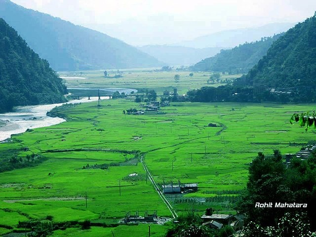
According to the 2001 census, Khalabga had a population of 5,061 living in 1066 households. Khalanga is culturally and ethnically rich and diverse. The major ethnic group of people living here are Brahmin, Chhetri, Newar, Damai, Kami, Sunar, Magar. Large group of people in the district are engaged in agriculture. Jhimruk and Madi flow through the district providing the necessary water for irrigation. The people here grow Rice, Wheat, Maize, Paddy along with cash crops like Citrus, Asian pear and Mulberries. Along with agriculture, some of the people are civil servants, businessmen, in the Police or Army.
Swargadwari; Gateway to Heaven.

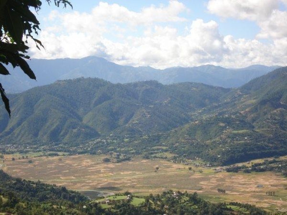
View of Jhimruk Valley with some peaks in the western part of the Dhaulagiri, Annapurna, Gaurishankar.
Explore the nearby villages like Saaribang, Bijuwar Bazar, Thapdanda, Cherneta.
Community Homestay; Experience the warm hospitality of the Khalanga village.

Explore the wildlife and the vast jungle of Pyuthan.
Some reminiscence of the Maoist revolt of 1996-2006 as it was the center of the movement.
Fishing in Jhimruk Khola.
Dharamshala of Swargadwari.

Dam of Jhimruk Hydro Electricity Project.
Udayapur Kot.
Various species of Rhododendron can be seen in the forest.
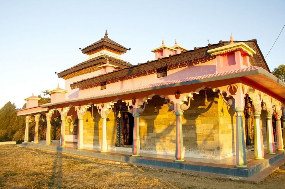
Temples like Bandhikot, Devi Bhagwati Temple, Jhakristhan, Rameswar Temple, and many more.
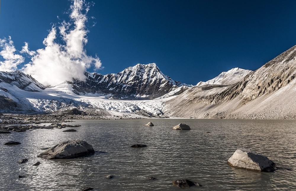
Hike to nearby hills to see a mesmerizing view of the valley and mountains.

Dahihanna Chaur.
Baismul Waterfall.
Jhankridhunga.
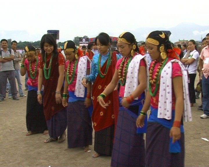
Traditional Dance of the people i.e Maruni Naach and Kauda Dance.
Havan Kunda; Fire burning for 120 years.
Regular buses serve Pyuthan via a spur road off the main east-west Mahendra Highway at Bhalubang from different parts of the country. The city is 425 km from the capital city and can take anywhere from 10-11 hours. Pyuthan doesn't have an airport. The closest airport is Tulsipur Airport. These airfields have been connecting the people of Pyuthan through the airway to the rest of the country.
ALSO READ: