NEPAL TRAVELLERS
Named after the world’s highest peak Mount Everest, the highway is among the national highways, which connects the Hilly and Terai region of Nepal. The highway connects Khotang district to Saptari via Udayapur district. Like many other national highways, the maintenance is looked into by the Department of Roads of Nepal. Stretching within a total length of 156 kilometers (97 miles), the code of this route is H09.
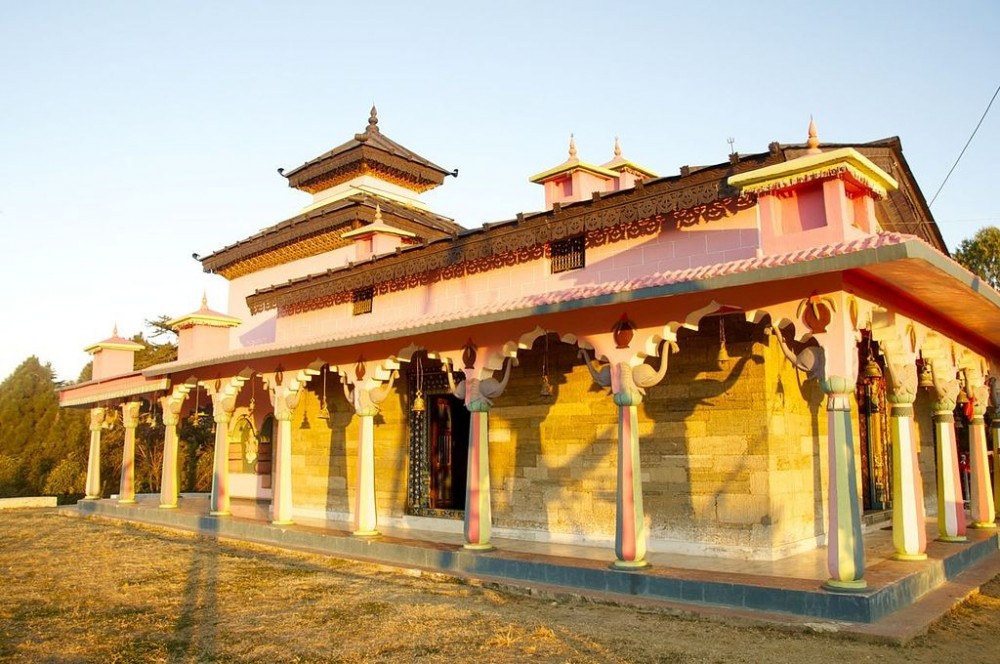
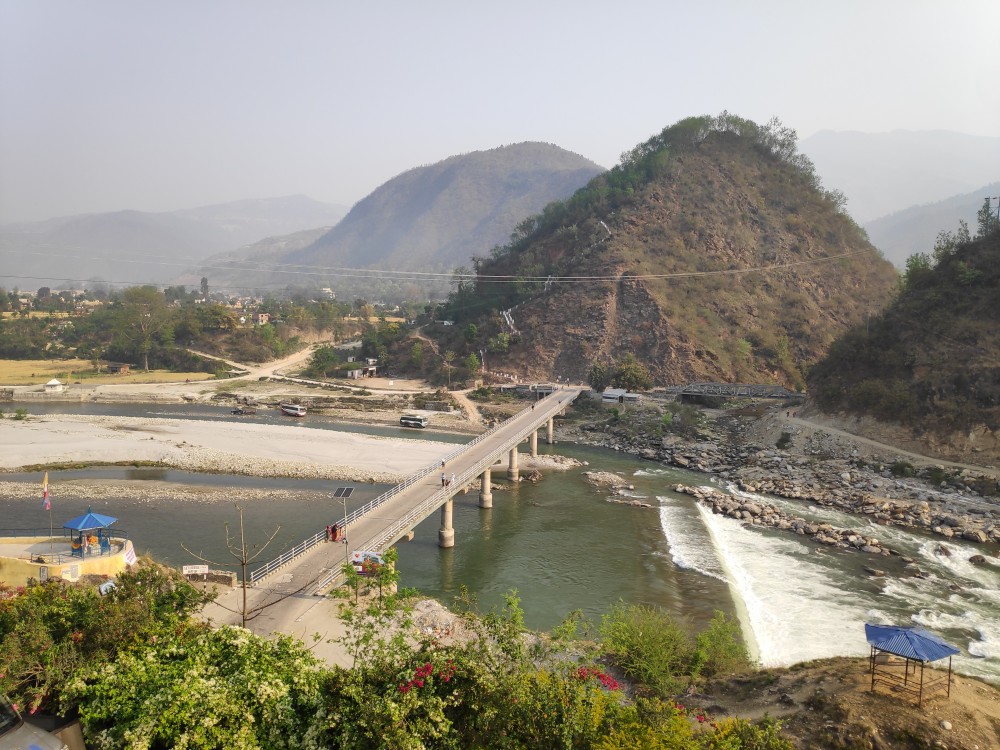
Traveling through this highway, one can experience the local and classical Nepalese culture and the homes on the hillside as one of the major attractions on this route. The highway also paves the way to Solukhumbu - the gateway to the top of the world, Mount Everest. The construction of this highway has appreciably aided the upliftment of the livelihood of people in the Eastern region.

The highway connecting the remote areas of eastern Nepal began its construction in the year 1994 and was inaugurated by the then Prime Minister Manmohan Adhikari at Bokse, Gaighat. The primary object of the highway was to link Diktel with the national road network.
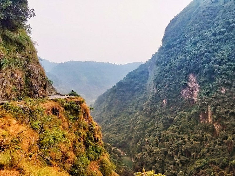
Kadmaha is regarded as the major junction of the highway as it is the place where the highway meets with the Mahendra highway, also known as the East-West highway that runs across the Terai geographical regions of Nepal. The route runs through province 1 and province 2, differing from the elevation of 76 meters above sea level to 1,530 meters above sea level.
The highway connects some of the remote destinations of the eastern region of Nepal like Khanbu, Saune, Jalpachilaune, Gaighat, Haridiya, Pipra, Daulatpur, Pipra Paschim, Madhupati, and others.
Q. What is the length of the Sagarmatha highway?
The total length of the Sagarmatha Highway is 156 kilometers (97 miles).
Q. What is the location of the Sagarmatha highway?
Sagarmatha municipality lies in the eastern part of Nepal and runs different regions of Province 1 and 2.
Q. Who is Manmohan Adhikari?
Man Mohan Adhikari was the founder of Nepal communist party Nepal and was the prime minister of Nepal.
Q. Where does the East-West highway connect Sagarmatha Highway?
Kadmaha junction, also regarded as the major junction of the highway.
Complied by Pawana Shrestha, a content writer at Nepaltraveller.
ALSO READ