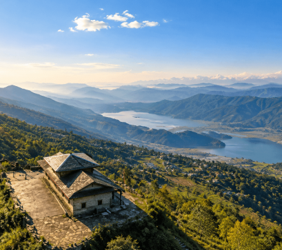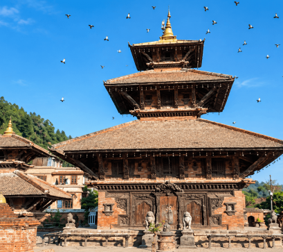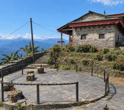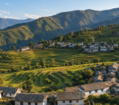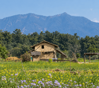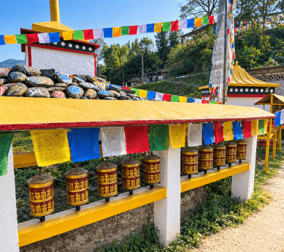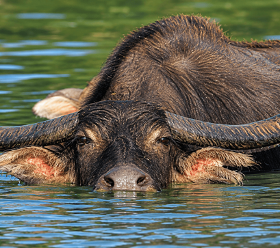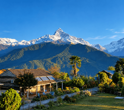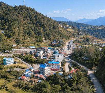
Most travellers pass through Pokhara for its lakes and mountain views, unaware that a short distance north lies a village literally hollowing out from beneath. Armala is a sub-metropolitan area in Kaski District, Gandaki Zone, covering 36.01 square kilometers across nine administrative wards.
It borders Sildure, Gharmi Pokhara, Mauja, Puranchaur, and Pokhara Metropolitan City. In the 1991 census, it recorded a population of 4,921 across 1,012 households. The name is thought to derive either from "Amala," a fruit that once grew abundantly here, or from "Armal," a historical fine paid by farmers for livestock damage to crops.
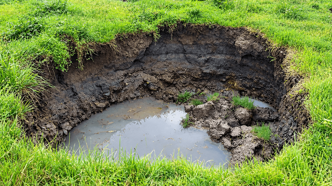
The valley is built on thick quaternary deposits of calcareous clayey silt and gravel, laid down by catastrophic debris flows from the Annapurna range. Beneath the surface, underground water has spent centuries eroding these soluble layers, hollowing out cavities that eventually collapse.
Surveys located one such cavity, roughly 2.5 meters wide, at a depth of 7.5 to 10 meters, and traced active erosion to a thin sand seam sandwiched within the clay. A 2014 study by Basanta Raj Adhikari, associate professor at Pulchowk Campus, measured 12.8 liters of water flowing per second from one hole, a quarter of the sediment being kaoline clay, and attributed the erosion partly to illegal stone mining that deepened the nearby Kali Khola stream.
Armala's forests support native plants such as rhododendron, chandan, and kafal, alongside animals including tigers, leopards, deer, and foxes, and birds like eagles, vultures, and kalij pheasants. Kalamuda, within Armala, supplies drinking water to Pokhara Metropolitan City.
The sinkholes first appeared in November 2013 and recurred through 2017, damaging paddy fields, collapsing a cowshed, and placing a private school, six houses, and drinking water and electricity lines at risk, according to Liladhar Acharya, chairman of the Armala Disaster Management Committee.
In response, the Disaster Prevention Department banned paddy cultivation in the area for five years to reduce water seepage, allowing only less water-intensive vegetable farming; a geological study conducted five decades earlier had already recommended against settlement in the area.
During the 2015 earthquake, muddy water was observed at the Kali River outlet, though no new sinkholes formed and existing ones did not change size. The area is reached by a gravel road connecting to the Mahendra Cave Armala Road, and also contains two caves open to visitors: Crazy Cave, about 600 meters long, and Holi Cave, around 800 meters, both used locally for meditation.
Visitors should check on current ground conditions locally before entering farmland areas, avoid the restricted paddy zones, and expect limited tourist infrastructure. Sturdy footwear suits the cave walks, and hiring a local guide is advisable given the area's history of sudden ground collapse.