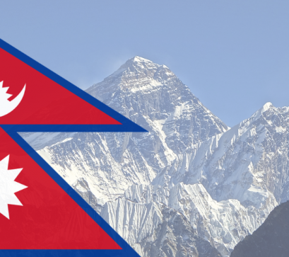
For decades, the world recognised the height of Mount Everest as 8,848 metres. However, in December 2020, Nepal and China jointly announced a revised official height of 8,848.86 metres, nearly one metre taller than the previous accepted figure. The update sparked global curiosity: did Everest actually grow, or did science simply become more accurate?
The answer lies in a fascinating combination of tectonic activity, advanced technology, earthquakes, and evolving methods of measurement.
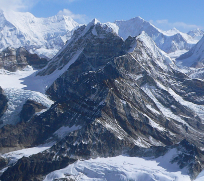
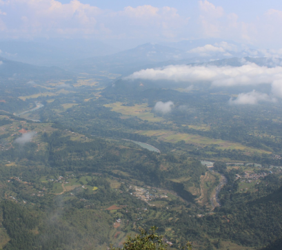
Everest is part of the Himalayas, a mountain range formed by the ongoing collision between the Indian and Eurasian tectonic plates. This geological process began around 50 million years ago and continues even today. As the Indian plate slowly pushes northward beneath the Eurasian plate, the Himalayas continue to rise gradually year after year.
Scientists estimate that Everest still gains a few millimetres in elevation annually due to tectonic uplift. However, erosion caused by wind, rivers, glaciers, and landslides also wears the mountains down simultaneously. The height of Everest is therefore never completely fixed.
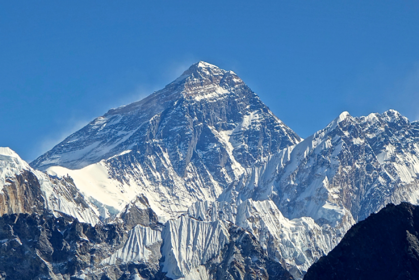
The officially accepted height before 2020 came from the Survey of India conducted in 1954, which measured Everest at 8,848 metres. China later conducted its own survey in 2005 and proposed a lower figure of 8,844.43 metres because it measured only the rock height, excluding the snow cap. Nepal, meanwhile, maintained that the snow-covered summit should be included in the official measurement.
To settle the discrepancy, Nepal launched its first independent survey of Everest in 2019. Surveyors climbed to the summit carrying sophisticated GPS receivers and measuring instruments. China carried out a similar expedition in 2020 from the Tibetan side. After combining their findings, both countries jointly declared the new official elevation of Everest as 8,848.86 metres.
Following Nepal’s devastating 7.8-magnitude earthquake in 2015, many scientists speculated that Everest’s height may have changed. Some feared the mountain had shrunk, while others believed tectonic shifts may have lifted it further.
This uncertainty became one of the main reasons Nepal decided to conduct a fresh survey. However, the final 2020 measurement showed that Everest had not significantly decreased in height after the earthquake. Instead, the updated figure reflected more precise surveying techniques and the inclusion of the summit snow depth.
Modern measurement techniques are far more advanced than those used in the nineteenth and twentieth centuries. The 2020 survey relied on:
Surveyors also had to determine sea level accurately, which is surprisingly complex in mountainous terrain. Nepal used measurements linked to the Bay of Bengal while combining regional geodetic data for greater precision.
Interestingly, recent scientific studies suggest Everest may continue rising in the future due to a phenomenon known as isostatic rebound. Researchers found that erosion caused by nearby river systems, particularly the Arun River, has gradually reduced pressure on Earth’s crust, allowing sections of the Himalayas to rise further over thousands of years.
While the increase each year is tiny, Everest remains a dynamic mountain rather than a static landmark.
For Nepal, Everest’s revised height was not merely a scientific achievement but also a matter of national pride. The survey marked the first time Nepal independently measured the world’s highest peak using its own technology and expertise. The joint announcement with China also symbolised international scientific cooperation on one of Earth’s most iconic natural wonders.
Today, Everest officially stands at 8,848.86 metres above sea level, but one thing is certain: the roof of the world is still evolving.
Also Read