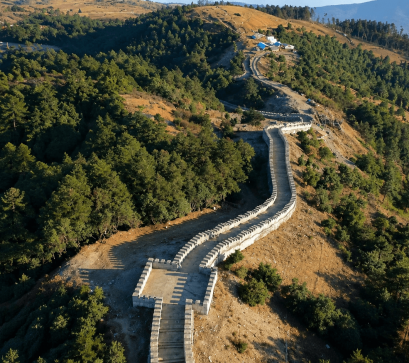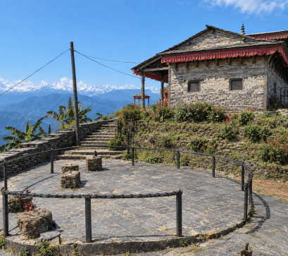
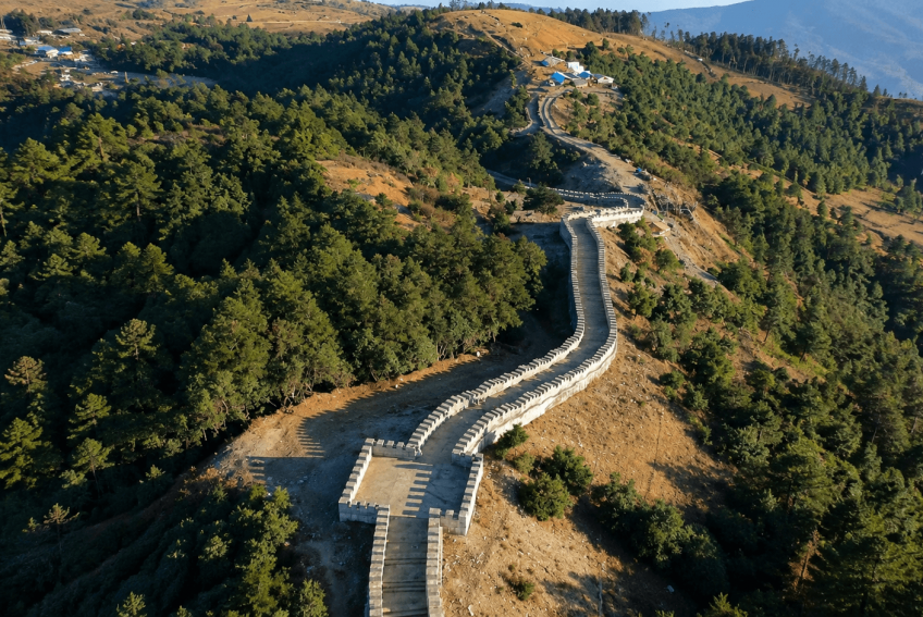
Sailung sits at roughly 3,146 metres above sea level, with about 80% of the area in Dolakha district and the remaining 20% in Ramechhap. The name comes from the Tamang language: "Sai" means one hundred, and "Lung" refers to windy hills, describing the 108 grassy mounds that cover the plateau. Locally the site is also called the "Mini Great Wall of Nepal," after a stone staircase ridge trail built near Kalapani.
The area administratively falls under Shailung Rural Municipality, formed in 2017 when the government merged six former village development committees; the municipality covers 96.30 square kilometres and recorded a population of 20,098 in the 2011 census, split roughly two-thirds Hindu and one-third Buddhist.
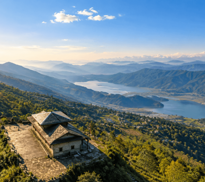
From the highest point, Thulo Sailung, clear days offer 360-degree views said to take in around 90% of Nepal's Himalayan range, including Everest, Lhotse, and Makalu to the east, Gaurishankar and the Rolwaling range across the valley, and Langtang, Ganesh Himal, and Dorje Lakpa to the west, with distant glimpses of Annapurna.
The climate is cold year-round, with regular snowfall and fog from mid-November to mid-February; the forests and creeks freeze in winter and thaw by February. Monsoon months (June to August) bring heavy rain and fog, along with leeches on the trails.
Wildlife recorded in the area includes deer, Himalayan goral, leopard, red and white monkeys, tiger, bear, and bird species such as the Himalayan monal, vulture, and Kalij pheasant. Laligurans, Nepal's national flower, blooms across the hillsides in spring alongside other native shrubs and herbs.
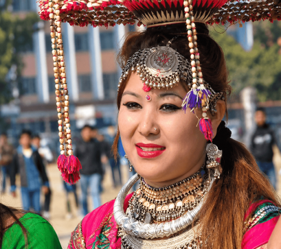
The resident communities are mainly Tamang and Sherpa, along with Thami, Majhi, Sunuwar, and Newar groups, and the site carries significance for both religions: Buddhists associate it with Guru Padmasambhava, while Hindus visit the Sailungeshwor Mahadev Temple and nearby caves, particularly during Janai Purnima and Balachaturdashi.
Sailung is roughly 125 to 150 kilometres from Kathmandu via Dhulikhel and Mude on the Araniko Highway, a drive of 6 to 7 hours by private vehicle (longer by public bus). The road is paved as far as Mude; the remaining stretch to Kholakharka or Dhunge is unpaved and requires a 4WD vehicle.
There are no luxury hotels, accommodation is limited to homestays in Tamang and Sherpa villages. Spring (March–May) brings blooming rhododendrons, while autumn (September–November) offers the clearest mountain visibility. Visitors should carry warm layers even outside winter, given the cold, windy conditions at altitude, and be prepared for rough road conditions on the final approach.